Role and organisation
The Natural Science Institute of Iceland operates in accordance with Act No. 54/2024 on the Natural Science Institute and Nature Research Centres. The institute's main role is to conduct fundamental research on Icelandic nature, collect and process geospatial and geographical baseline data on the country, as well as operate a nature research station by Lake Mývatn.
According to Article 3 of the Act, the tasks of the Natural Science Institute of Iceland include, among other things, to:
- conduct scientific research on Icelandic nature,
- preserve natural specimens, publications, and other materials in scientific reference collections and build accessible databases with comprehensive records on Icelandic nature,
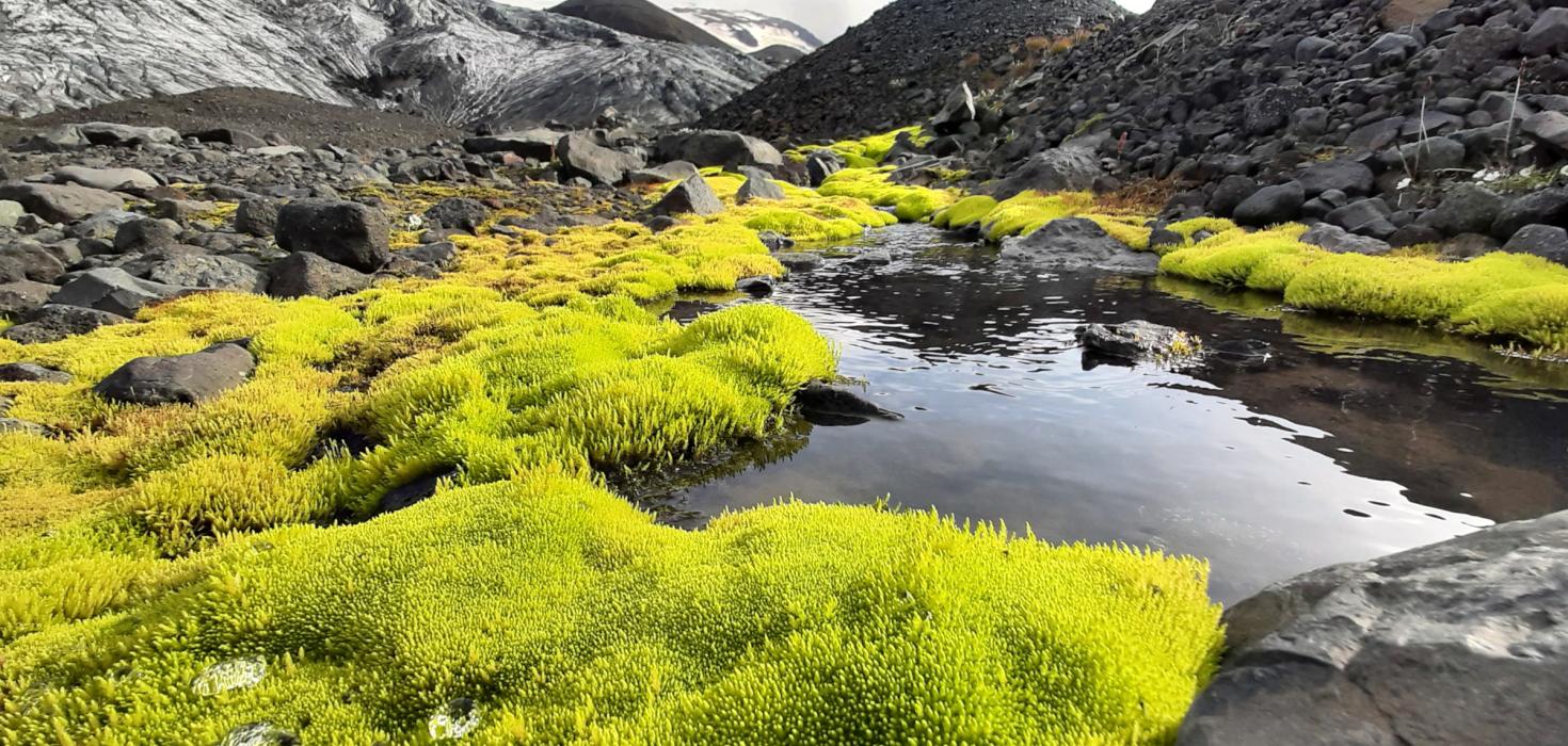
- systematically record and map individual components of Icelandic nature, including geology and species distribution,
- support the development of natural science museums through information and consultation, and disseminate knowledge to schools, the media, and the public,
- provide guidance on the sustainable use of natural resources and assist with research for assessing the conservation value of ecosystems and natural features, as well as the impact of construction and other land use on nature,
- study wild populations of mammals and birds,
- manage bird ringing, for which the institute holds the sole authority in Iceland,
- publish research findings in educational and scientific publications,
- systematically document the bedrock and surficial deposits of the country,
- register natural heritage sites, assess their conservation value, and oversee Part C of the Nature Conservation Register,
- be responsible for monitoring key elements of Icelandic nature, insofar as such monitoring is not assigned to other agencies by law or regulation,
- develop and maintain reference systems and accessible geodetic and elevation frameworks for all of Iceland,
- take the initiative in developing and applying standards in the field of geographic information,
- develop and maintain geographic information on hydrology, surface features, roads and transportation, place names, administrative boundaries, infrastructure, contour lines, and elevation points,
- implement the Act on the Infrastructure for Spatial Information, including the operation, maintenance, and technical development of the national spatial data portal,
- register and maintain the place name database in cooperation with the Árni Magnússon Institute for Icelandic Studies; the content of the database shall be freely accessible, and the public shall be enabled to submit place names to the database,
- develop and maintain digital geographic information databases in cooperation with relevant authorities,
- carry out other tasks pursuant to specific laws, administrative directives, or decisions of the Minister.