Land cover
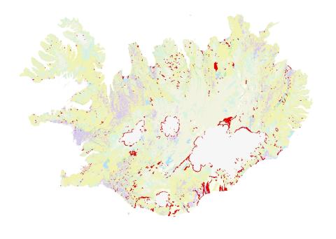
CORINE is a pan-European land cover classification project in which most European countries participate and is a part of the Copernicus monitoring programme. The project involves mapping land cover according to a standardized methology at the same time in all participating countries. The CORINE land cover classification is updated every few years using new imagery. The main purpose of the project is to obtain comparable environmental information for all European countries and to monitor changes in land use across the continent over time.
The first CORINE land cover classification was done around 1990 and updated in 2000. Since then, it has been updated regularly. The European Environment Agency oversees CORINE, and the Natural Science Institute of Iceland carries out the work for Iceland.
CORINE land cover classification results can be viewed in the Iceland Map Viewer and information about each can be found in the metadata portal, where the data can also be downloaded: